Drone Mapping Helps Monitor Highway Widening Project
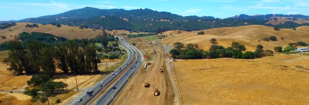
The stretch of U.S. Highway 101 about an hour north of San Francisco known as the Marin-Sonoma Narrows is notorious among weekday commuters and weekend Napa wine country vacationers alike. “It’s one of the worst choke points in the Bay Area”, said Bill Daddario, owner of Sky Iris Images, about the section where Highway 101 drops from six lanes to down to four.
But Bill isn’t only familiar with the Narrows as an area resident. He’s used his drone to help capture an aerial view of the construction currently underway to widen this critical inter-regional route. In the process, he’s introduced many involved with the project, including the Transportation Authority of Marin (TAM), the California Department of Transportation (Caltrans), and Ghilotti Brothers Construction to the potential of drone mapping to aid in the construction process and drone videos to improve public outreach and engagement.
A “Lightbulb Moment”
A long-time drone enthusiast, Bill started his drone business doing real estate photography, but now focuses on construction and mapping. It was a chance meeting with a former classmate that connected Bill to the Transportation Authority of Marin (TAM) and later to the Marin-Sonoma Narrows expansion project. “I showed the DroneDeploy software on an iPhone and next week had a meeting with key project engineers,” said Bill.The agency was initially interested in drone video and photography, but the focus of the meeting quickly shifted to mapping.
“One of the real selling points was opening up the DroneDeploy map, and showing all of its features, and then the recognition, the lightbulb, seeing the potential for really rich aerial data,” said Bill.
After the demonstration, the lead engineer ordered site scans for a wetlands restoration project.
Fast, Cost-effective Environmental Monitoring
One of the wetlands restoration projects that TAM wanted to map was at Larkspur landing, a site where a former railway trestle bridge had been removed and a bicycle/pedestrian crossing structure had been erected. TAM had planted local grasses and pickleweed, a native tidal plant that helps improve water quality, and wanted to monitor the health of the plants with a drone map every six months. The agency expects the drone maps to provide a cost-effective way to supplement expensive boots-on-the-ground monitoring with high resolution maps that can be easily compared to see trends over time.
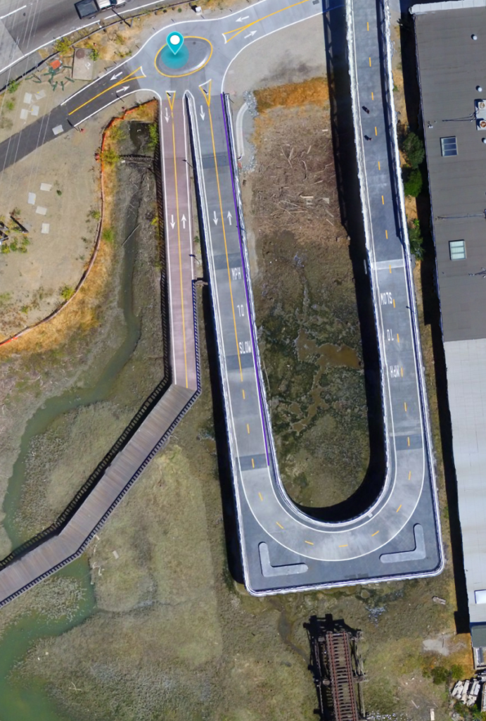
Click Here To See A Map Of Larkspur Landing
Measuring Earth moving on the Construction Site
After seeing the benefits of mapping from the environmental monitoring projects, TAM hired Bill to map part of the Marin-Sonoma Narrows project. In this section of the highway, the project aimed to reconstruct the curve to improve line of sight and raise the elevation of the road to avoid flooding issues.
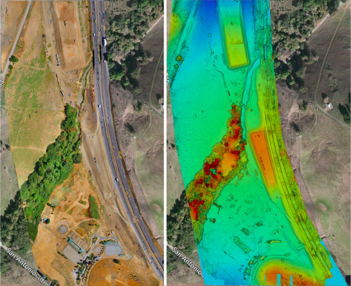
Click to explore the 2D orthomosiac map or the elevation map

3D Model of the highway construction site
The project includes major earth work that will move approximately 500,000 cubic yards of soil. Using DroneDeploy, Bill provided both orthomosaic 2D maps as well as elevation maps and 3D models of the construction site, and showed how to easily calculate area and volume by simply drawing a perimeter around the area of interest.

drone mapping
Volume measurement of a berm
In addition to making maps of the construction site, Bill captured drone video that TAM has incorporated into pubic outreach about the project.
“The drone footage allows the public to be more aware of and interested in the construction progress — it makes it more approachable for people,” said Molly Graham, Public Outreach Coordinator for TAM.
Demonstrating the Power of Drone Technology
Bill has this advice to other drone pilots interested in pitching their services to public agencies and construction companies. “You need to provide an overview of the benefits for construction projects and do it quickly in a few sentences — how it’s going to be big for them, how it will be integrated and how it will save them money.”
“To demonstrate the power of drone technology, DroneDeploy is my go-to,” said Bill. “The interface is extremely practical, it is intuitive, you look at it for the first time and you know what you’re doing — it’s incredibly impressive.”